
Excel can retrieve geography data based on a city, ZIP code, state, or country. This is the fastest way to get any geography data into Excel.
Excel recently added new functions through the use of data types. The first two data types are geography data types and stocks data types. These new data types allow Excel to pull information from databases. This is a new function for Excel.
Contents
Excel data types
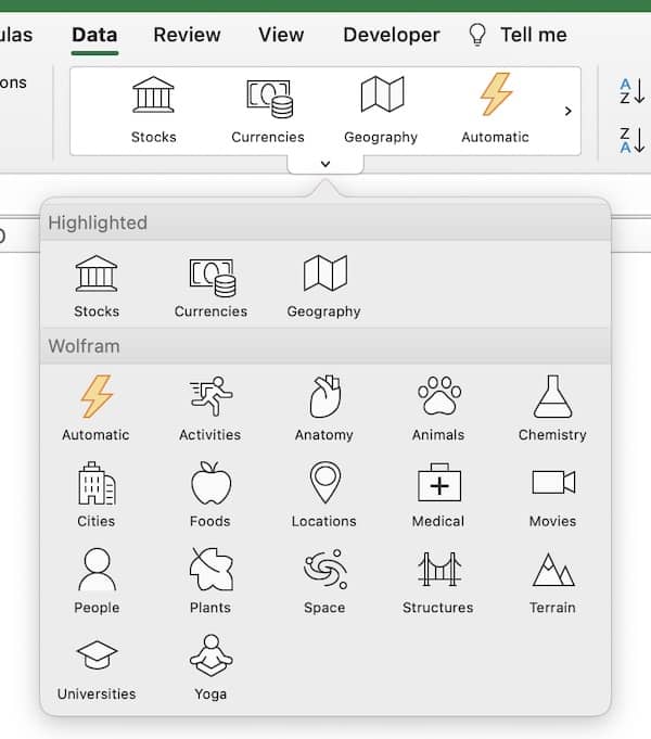
Microsoft added another category of data called data types. These data types are in Excel 365 only. The data types are on the data ribbon. The are many available data types in Excel:
- stocks
- currencies
- geography
- activities
- anatomy
- animals
- chemistry
- cities
- foods
- locations
- medical
- movies
- people
- plants
- space
- structures
- terrain
- universities
- yoga
Geography data types
To learn more about the stocks data types, see Stock Data Types in Excel: Get Stock Prices Quickly
The geography functions can work with several variables entered into Excel:
- U.S. ZIP codes (other postal codes may work)
- Cities anywhere in the world
- States or provinces in the United States, Mexico, and Canada (other countries may also work)
- Countries
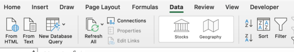
To get started enter cities, states, provinces, countries, or ZIP codes. Then go to the Data ribbon and select the Geography button. Excel will convert the text to a geography data type.
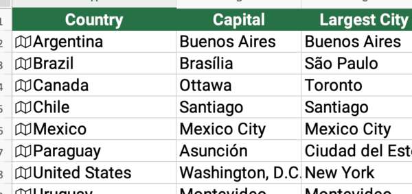
Notice the Excel symbol for geography. The geography symbol is a map. The map symbol shows Excel recognizes the data as a geography data type.
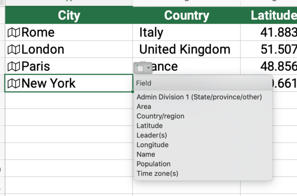
Cities
If you enter cities, Excel can pull 9 different data items for that city. It can also retrieve latitude, longitude, and time zone for each city. This is quicker than looking up each city one at a time.
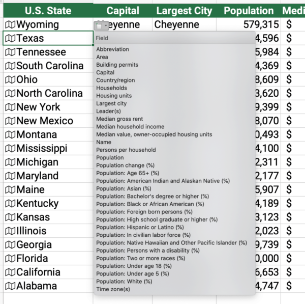
States and provinces
If you enter states or provinces, Excel can retrieve 32 different data items. This includes more demographic data such as population and income numbers.
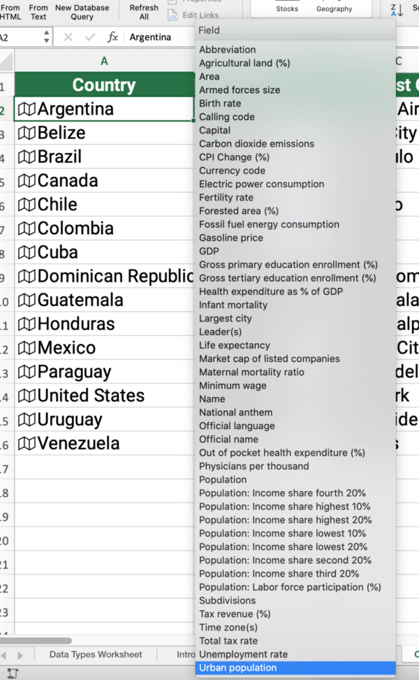
Countries
Countries provide about 47 data items. These include similar information as states, but includes official languages, tax rates, inflation, and armed forces. This is now the fastest way to get this information in a spreadsheet.
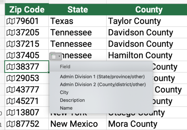
U.S. ZIP Codes
U.S. ZIP Codes provide similar information that cities do. A large metropolitan area may include several zip codes so it is a smaller area than the city. In this example, you could pull state, county, and city.
Geography data types video
If you need a tutorial to understand how to include geography in Excel, see the video below.
Learn more Excel
Do you want to learn Excel?